Amsterdam – Qahwa World
Leading global coffee companies have launched a landmark industry initiative aimed at transforming how deforestation risks are identified and managed across coffee-producing regions worldwide, through a unified satellite-based mapping system.
The Coffee Canopy Partnership brings together major players in the global coffee value chain, including JDE Peet’s, Louis Dreyfus Company, Sucden, Neumann Kaffee Gruppe, Touton, Sucafina, and Tchibo, in an unprecedented pre-competitive collaboration designed to create the first comprehensive and openly accessible global map of coffee production landscapes.
Developed in partnership with Airbus, the initiative will use very high-resolution satellite imagery combined with artificial intelligence and ground verification to map coffee farms, detect forest loss, and distinguish between natural forests and agroforestry systems such as shade-grown coffee, which have historically been misclassified in land-use datasets.
The program is designed to address one of the sector’s most persistent structural challenges: the lack of reliable, harmonized geospatial data on coffee cultivation. This data gap has contributed to inconsistencies in sustainability monitoring and, in some cases, the unintended exclusion of smallholder farmers from regulated markets.
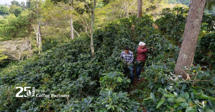
The initiative launches with a large-scale pilot across East Africa, covering Ethiopia, Tanzania, Kenya, Uganda, Burundi, and Rwanda. The pilot will map approximately 1.2 million square kilometers of coffee-growing landscapes and serve as the foundation for a global rollout planned for 2027.
At the core of the project is the creation of two key geospatial datasets. The first will reconstruct a baseline of coffee cultivation for 2020–2021, correcting historical misclassifications of agricultural land as forest. The second will provide an updated view of coffee production landscapes for 2024–2025, enabling the detection of land-use change and potential deforestation over time.

The initiative comes as the industry prepares for stricter regulatory enforcement under the European Union Deforestation Regulation (EUDR), which restricts market access for commodities linked to deforestation after December 2020. Industry participants warn that without accurate mapping, agroforestry-based coffee systems risk being incorrectly classified, potentially affecting millions of smallholder farmers.
Speaking at the launch, Laurent Sagarra of JDE Peet’s said the initiative represents a shift away from fragmented sustainability efforts toward a shared, landscape-level approach. He emphasized that the goal is not to create another certification scheme, but to build a collaborative infrastructure capable of reducing deforestation risk across the entire sector.
Airbus Defence and Space highlighted the role of satellite technology and artificial intelligence in enabling this transformation, noting that high-resolution Earth observation data can provide the transparency required to strengthen both environmental protection and supply chain resilience.
Supporting institutions, including the UK Foreign, Commonwealth & Development Office and the UN Food and Agriculture Organization, have endorsed the pilot phase. FAO representatives noted that the initiative aligns with broader efforts to promote transparent and inclusive data systems for sustainable commodity production.
Industry participants described the project as a shift toward shared infrastructure for sustainability, arguing that collective data systems can reduce duplication, improve consistency, and enable more effective decision-making across governments, producers, and traders.
If successfully scaled, the Coffee Canopy Partnership is expected to become a global reference system for monitoring coffee-related land use change, supporting deforestation-free supply chains while protecting the livelihoods of smallholder farmers and strengthening long-term climate resilience in coffee-producing regions.